Xunantunich — Climb the Stone Woman's Pyramid
A 130-foot Maya pyramid, a hand-cranked river ferry, and views reaching into Guatemala. Xunantunich is the iconic Belize day trip that lives up to the photographs — and then some.
The Pyramid That Rivals Any in the Region
At 130 feet (40 metres), El Castillo at Xunantunich is Belize's second-tallest Maya structure. But statistics don't capture what it actually feels like to stand at the summit. You are elevated above the forest canopy, looking down the Mopan River valley toward Guatemala's Petén jungle — the same view Maya royalty had when Xunantunich was the political and ceremonial centre of the western Belize region during the Late Classic Period (600–900 AD).
Unlike many sites that are roped off or cordoned to protect structures, Xunantunich still allows visitors to climb El Castillo — all the way to the top. The experience is physical, immediate, and genuinely memorable. You can sit at the summit, face west, and watch clouds roll over Guatemala. There is nothing else in Belize quite like it.
The Hand-Cranked Ferry — A Genuine Living Relic
Most visitors don't realize that accessing Xunantunich requires crossing the Mopan River on one of the last hand-cranked cable ferries still operating in Belize. The wooden ferry platform holds about four vehicles and is pulled across the river by a hand-operated winch mechanism by local ferry operators. It has been running since the 1950s and is a cherished piece of Belizean transport heritage.
The crossing takes about 90 seconds. In those 90 seconds you are mid-river, looking up and downstream at the Mopan River framed by jungle — and it is one of those travel moments that gets remembered long after the archaeology fades.
Site Highlights at a Glance
Belize's second-tallest Maya structure at 130 feet. Climbable to the summit.
Massive stucco relief on the east face depicting the Maya cosmological cycle and Venus calendar.
360° panorama from the summit — jungle, river, and Guatemalan mountain ridgeline.
Ceremonial and residential spaces spanning the site — each with distinct architectural periods.
What's Included
- ✓Private transport from San Ignacio — return
- ✓All site entry and conservation fees
- ✓Hand-cranked Mopan River ferry crossing
- ✓Expert licensed Maya heritage guide throughout
- ✓Summit climb of El Castillo with guided frieze interpretation
- ✓Traditional Belizean lunch and water
- ✓Optional Cahal Pech town ruins add-on (ask when booking)
Tour At a Glance
Pair It
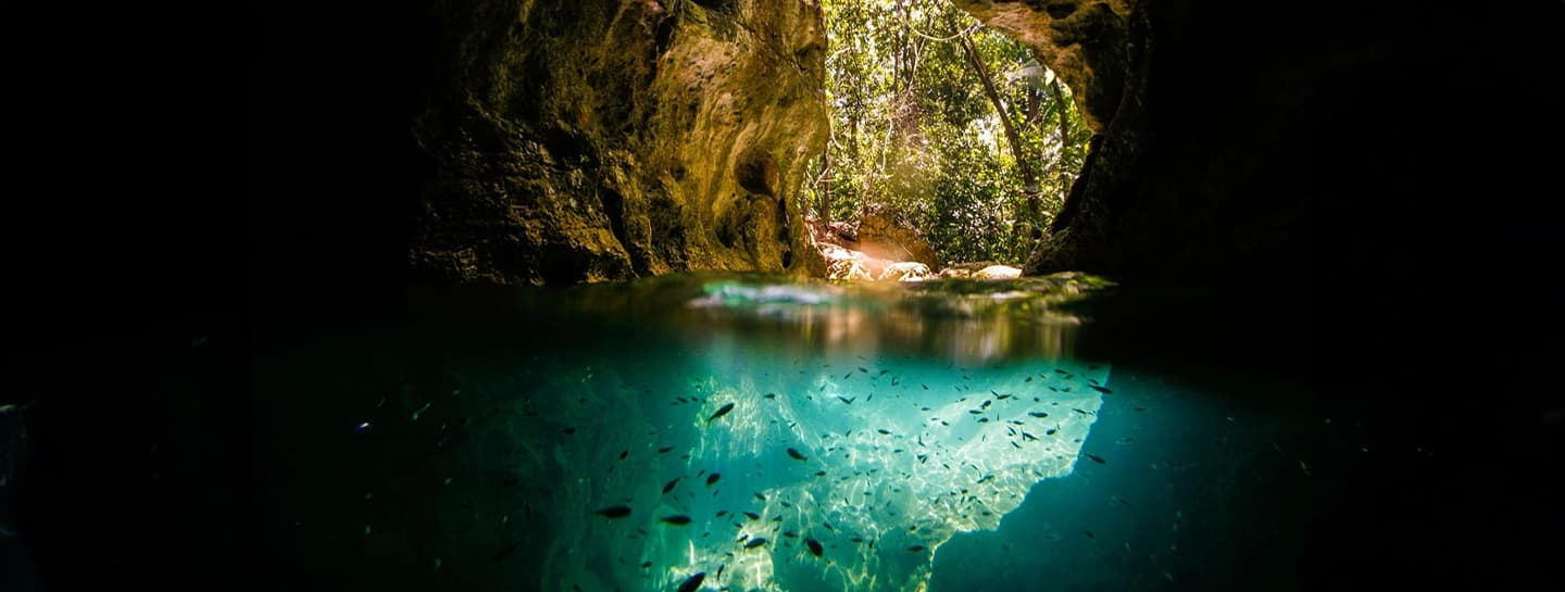
Xunantunich pairs perfectly with Barton Creek Cave for a full archaeology + nature day. Half-day tours leave room for San Ignacio's Saturday market.
Xunantunich — What Visitors Ask
What does the name Xunantunich actually mean?+
The name "Xunantunich" translates from the Yucatec Maya language as "Stone Woman" or "Maiden of the Rock." It refers to a ghostly apparition — a woman dressed in white with glowing red eyes — that has been reported by locals and guards at the site for generations. Multiple documented sightings from the 1800s to the present have kept the legend alive. Whether you encounter her on your visit is up to the jungle.
What is the astronomical frieze on El Castillo and why does it matter?+
The eastern face of El Castillo's second tier features a large stucco relief — partially reconstructed — depicting the Maya cosmological cycle. It shows Venus symbols, deity masks, and celestial band imagery that archaeologists believe was used as a giant astronomical calendar visible from the main plaza below. Priests could track Venus cycles and seasonal markers from ground level by observing the sun's alignment with specific frieze elements throughout the year. It is one of the most sophisticated examples of outdoor astronomical architecture in the entire Maya world.
How long does it take to climb El Castillo and is it genuinely worth it?+
The climb to the summit takes about 10–12 minutes at a steady pace and around 5 minutes if you are rushing (though we strongly advise against rushing — the steps are steep and uneven). The view from the top is genuinely spectacular: the Mopan River valley, the town of Benque Viejo, jungle canopy in every direction, and on a clear day, the mountains of Guatemala. Every person who reaches the top reports the same reaction — they immediately want to stay longer than planned.